


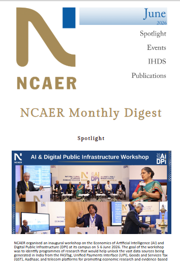
 NCAER Inaugural Workshop on the Economics of AI & Digital Public Infrastructure” />
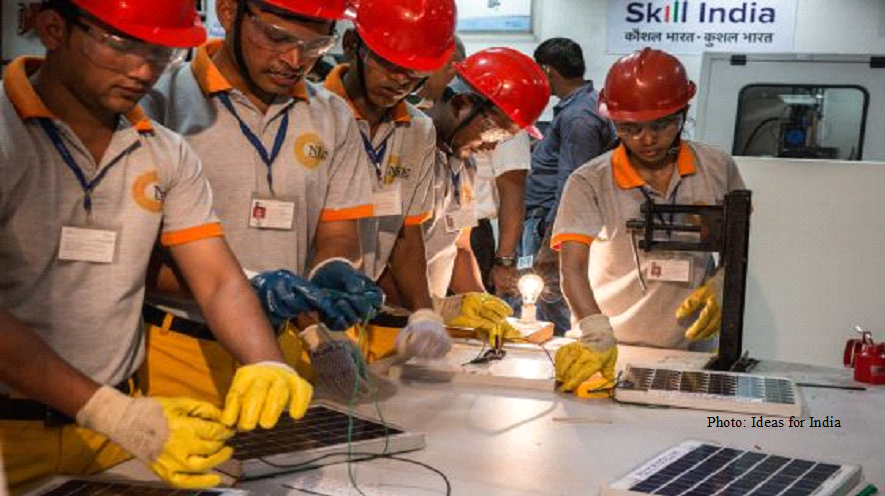 Reforming India’s vocational skilling ecosystem” />
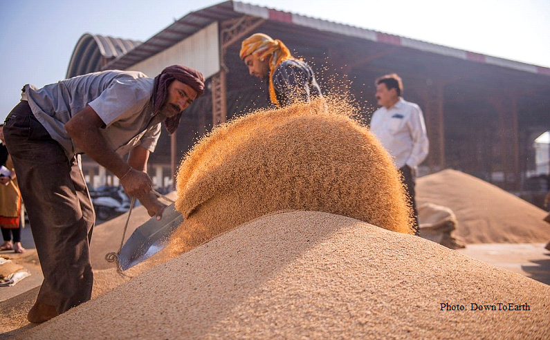 The next phase of India’s agricultural transformation must be export-oriented, standards-driven, and value-chain centric” />
 India’s new labour reforms: Occupational Safety, Health and Working Conditions Code” />
 Indian mothers’ care, sacrifices are glorified. TUS data reveals their invisible labour” />

Research Studies
Take a look at our
Ongoing Research
View More

Ongoing May 2026
Subscription-based Platforms: Designing payouts for social welfare in the States Platform Workers Welfare Board

Ongoing May 2026
Comprehensive Digital Financial Strategy for a Viksit Bharat: The Sustainable Way

Ongoing March 2026
Overall Economic, Social and Environmental Impacts Created by the Initiatives of GMR Foundation in Rajam Region
Ongoing December 2025
Economic Survey 2025-26, Uttarakhand

Ongoing December 2025
Structural Reform and Policy Credibility: Private Sector Mobilisation for Green Transition in India
Ongoing July 2025
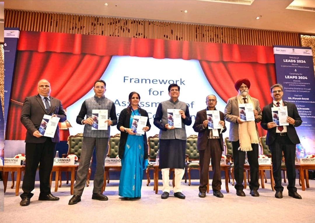
Assessment of Logistics Cost in India
Op-Eds
Some of our
Op-Eds
View More
Population spectres do harm. Managing demographic change is the challenge
Sonalde Desai
Industrial renewal in the East: Why West Bengal matters again
Saurabh Bandyopadhyay
Debt office overhaul overdue in low-income countries
Udaibir Das
Can India’s AI promise reach everyone?
Chetana Chaudhuri & Raj Kumar Banerjee
Bengal’s chance to plant a new tree
Suvajit Banerjee & Sovini Mondal
Social registries cannot settle women’s cash transfers
Bornali Bhandari

Publications
Read our
Publications
View More
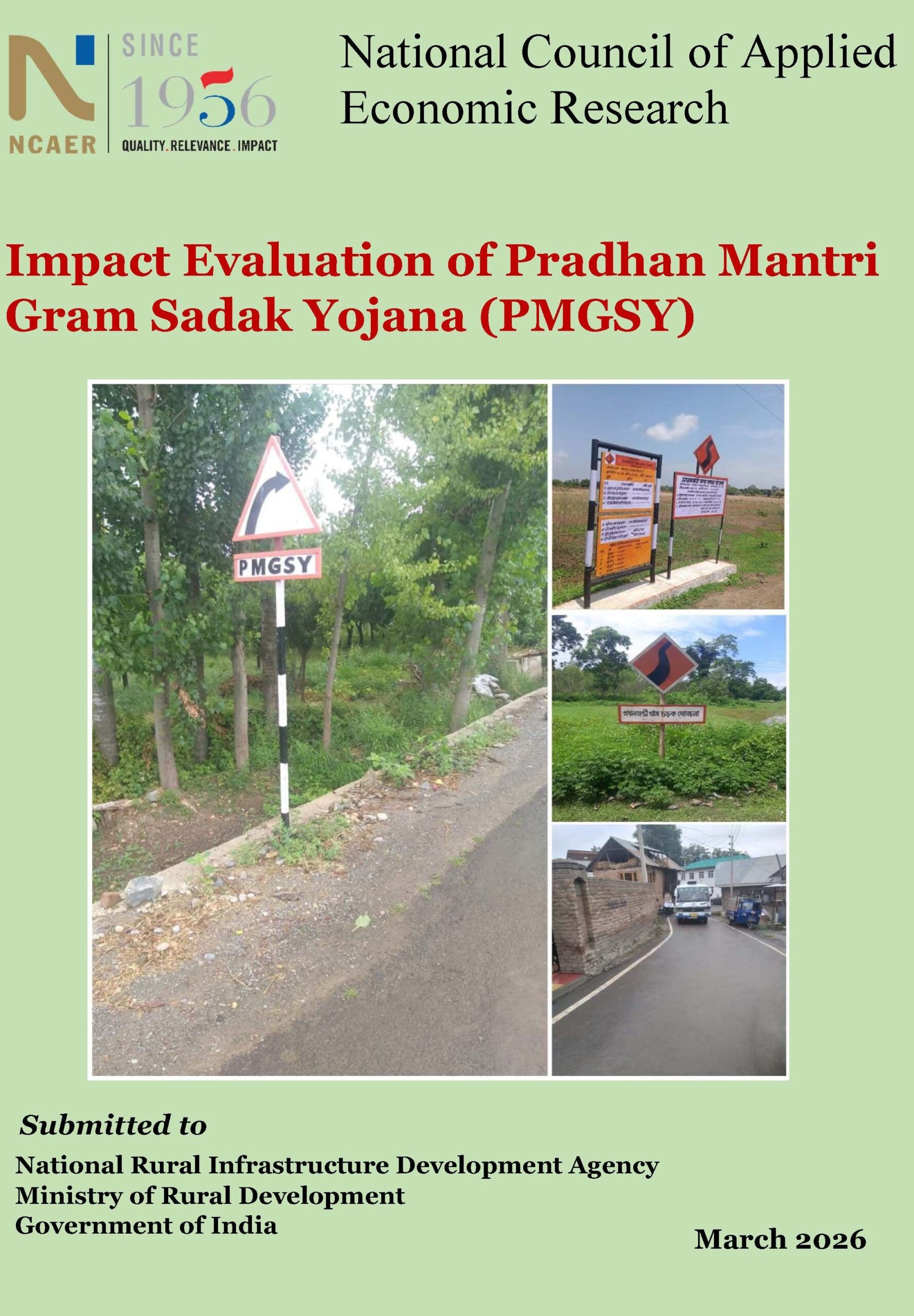
Impact Evaluation of Pradhan Mantri Gram Sadak Yojana (PMGSY)
Rural road connectivity is a foundational input for inclusive economic growth and social development. By improving physical access to markets,…
India’s Paperless Border Paradox: Evidence from Empirical Estimations
A nation’s efficient participation in global supply chains and accelerated economic growth are driven by trade facilitation. Paperless trade has…
NCAER News: June 2026
NCAER News is a monthly digest where you can learn about NCAER’s research outputs, its latest events, and offerings.