


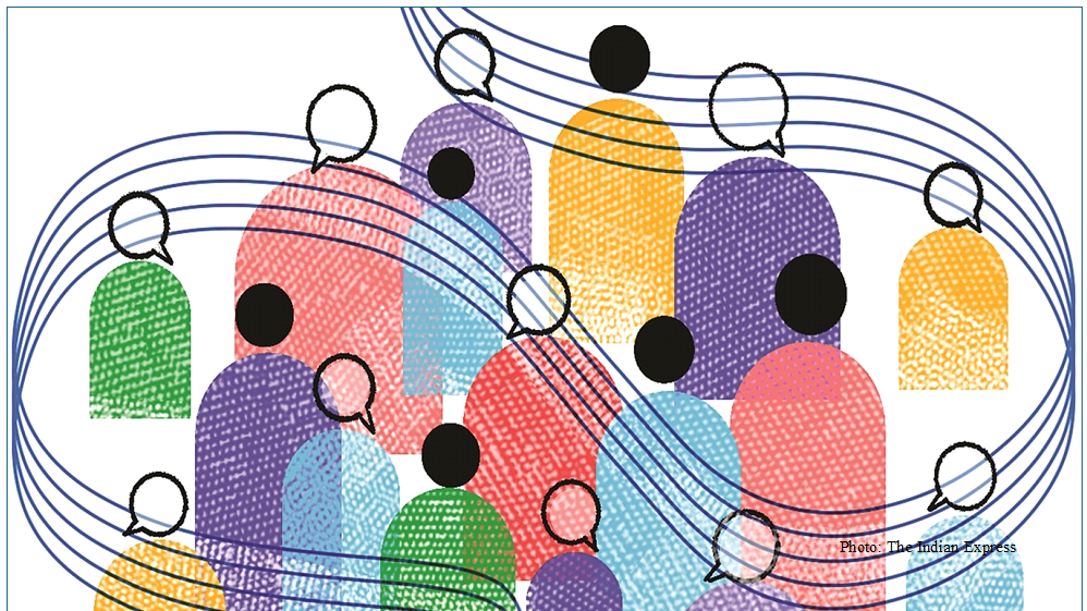
 More, the merrier: Women in policymaking drive better social outcomes, economic gains, NCAER study shows” />
 The thermal cost of India’s textile surge” />
 Reimagining India’s old age homes” />
 When philanthropy is less leap of faith, more numbers game” />
 India-EU FTA: Why paperless trade readiness is the real test” />

Research Studies
Take a look at our
Ongoing Research
View More
Ongoing March 2026
Overall Economic, Social and Environmental Impacts Created by the Initiatives of GMR Foundation in Rajam Region
Ongoing December 2025
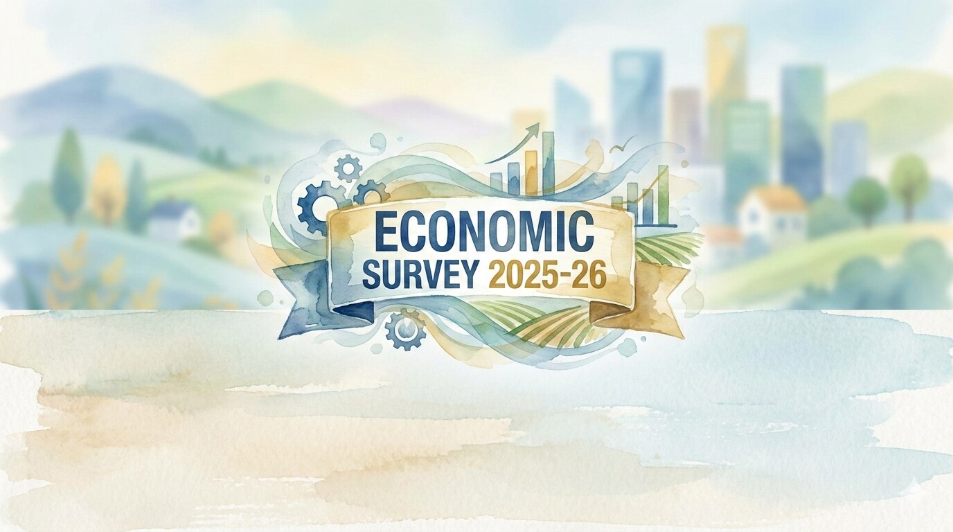
Economic Survey 2025-26, Uttarakhand

Ongoing December 2025
Structural Reform and Policy Credibility: Private Sector Mobilisation for Green Transition in India
Ongoing July 2025
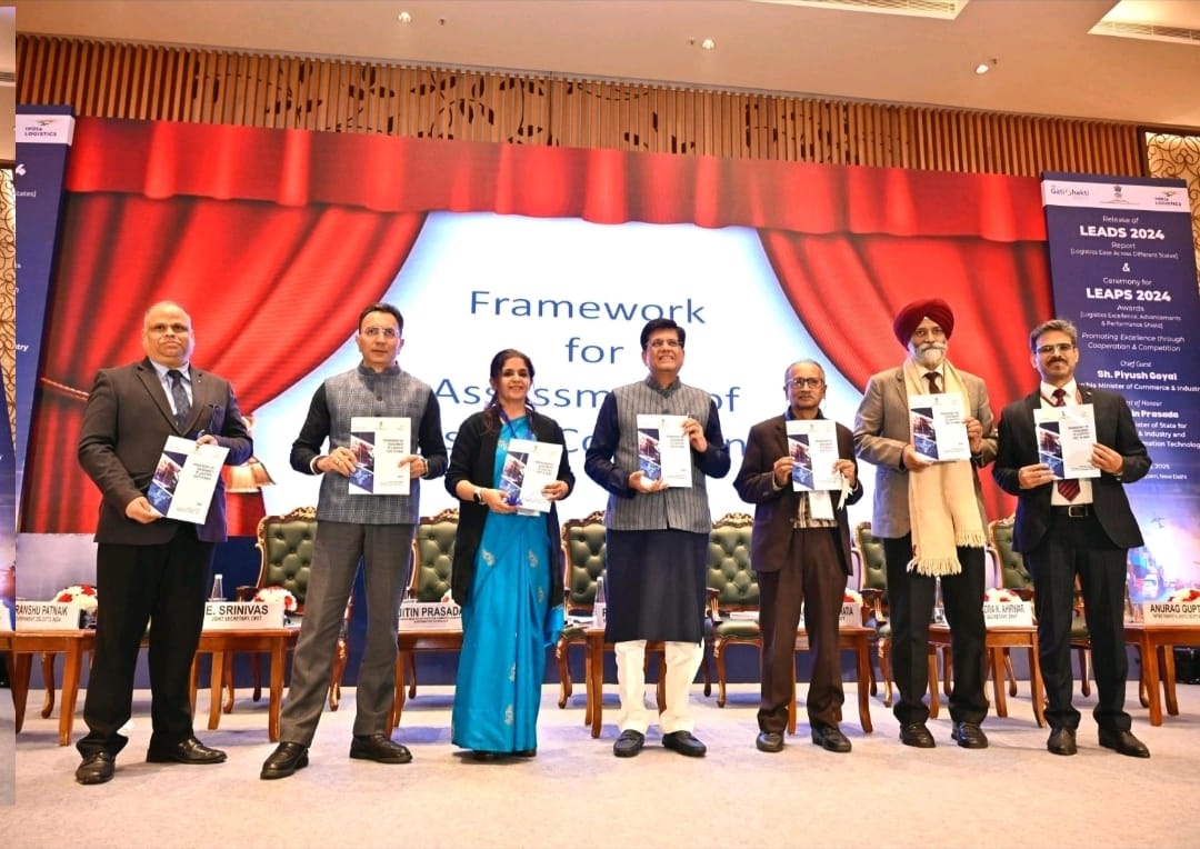
Assessment of Logistics Cost in India

Ongoing April 2025
Monthly Economic Review

Ongoing April 2025
Impact Evaluation of Pradhan Mantri Gram Sadak Yojana (PMGSY)
Op-Eds
Some of our
Op-Eds
View More
Inside the new Periodic Labour Force Survey
Jyoti Thakur & Dhruv Pratap Singh
Decentralised water conservation structures are critical for India, not as substitutes, but as complements to large irrigation systems
Saurabh Bandyopadhyay, Laxmi Joshi & others
More, the merrier: Women in policymaking drive better social outcomes, economic gains, NCAER study shows
Ratna Sahay & Aakash Dev
In workers’ protests in Noida and beyond, a test of labour reforms
Farzana Afridi
Are young Indians under or overworked? Both are true but AI may change work hours as we go along
Vidya Mahambare & Poonam Munjal
The thermal cost of India’s textile surge
Sreoshi Banerjee & Raktimava Bose

Publications
Read our
Publications
View More
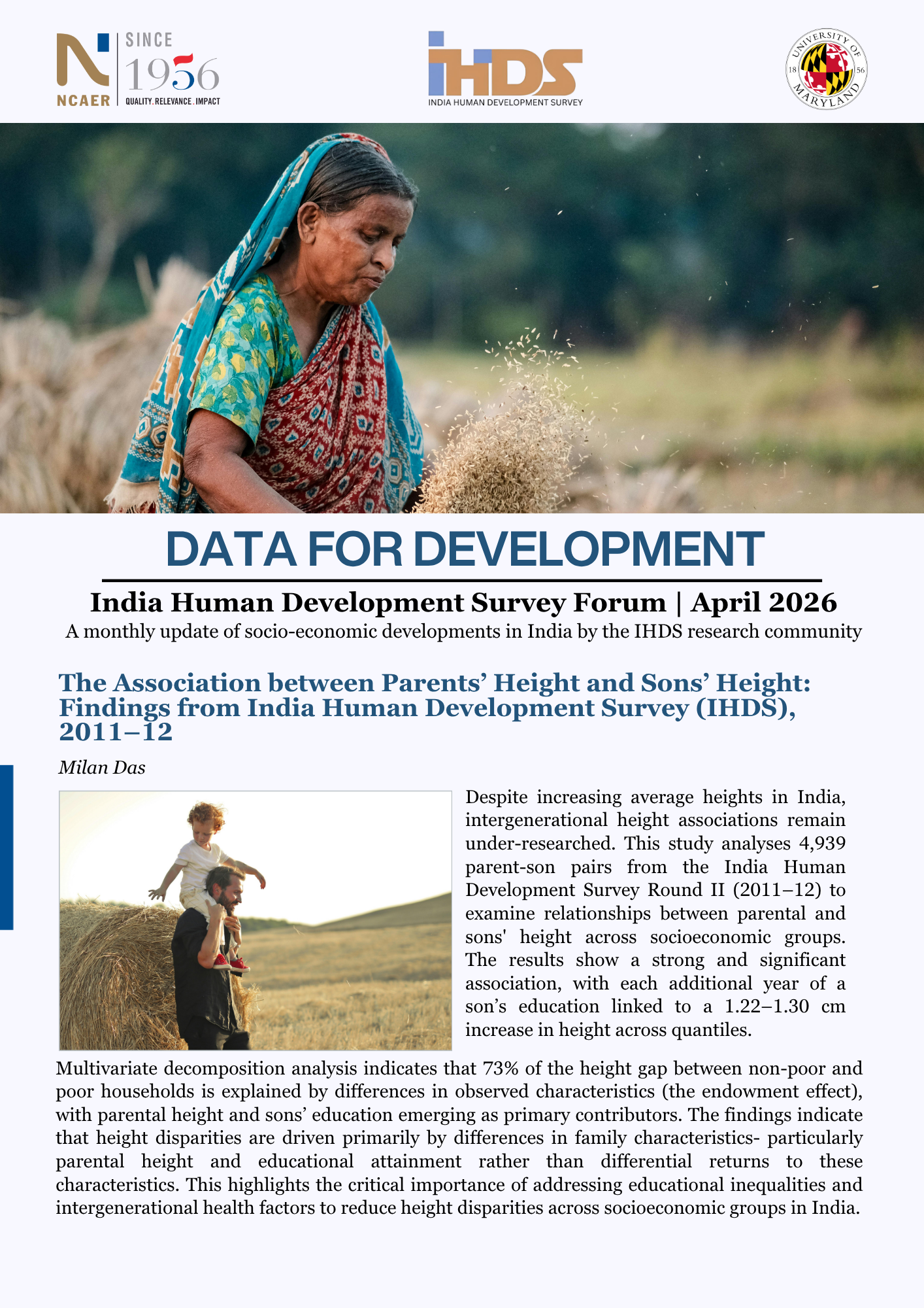
India Human Development Survey: April 2026
The IHDS Forum is a monthly update of socio-economic developments in India by the IHDS research community, based on the…
The NCAER Business Expectations Survey for India Fourth Quarter 2025–26
The National Council of Applied Economic Research (NCAER), one of India’s premier economic policy research think tanks, carried out the…
Assessing the Effectiveness of Regulated Small Borrowing in India
The crucial role of microfinance in bridging the credit gap for low-income households, who are often excluded from the formal…